
Photogrammetry &
Geospatial Data
High-accuracy, georeferenced data that turns your site into measureable, map-ready insight for planning, analysis, and smarter decisions.

109+
Documented Missions

57+
Project Sites

3,200+
Acres Supported

98%+
One-Day Turnaround
Why It Matters
Spatially accurate aerial data gives you a clear, up-to-date view of your site so you can plan with confidence, track progress, manage risk, and keep project teams and stakeholders aligned.
Capabilities & Deliverables

Orthophotos
High-resolution, georeferenced aerial imagery for accurate site mapping and measurement.

3D Models
Detailed, photorealistic 3D site models for visualization, planning, and design coordination.

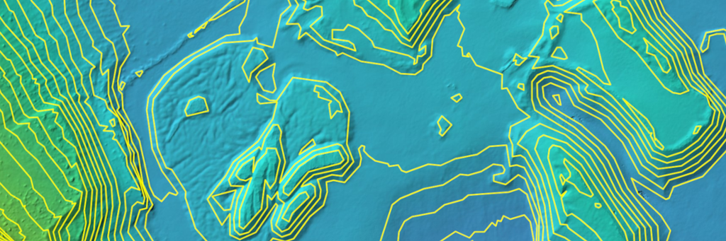
Surface & Elevation Models
Accurate DSMs and DTMs for grading, drainage, and terrain analysis.

Stockpile Volumes
Reliable volume calculations for material tracking, inventories, and production reporting

Site Measurements
Precise distances, areas, elevations, and slope analysis from your aerial data.

GIS-Ready Data
Georeferenced deliverables (e.g. GeoTIFF, shapefiles) that integrate with your GIS workflows.
Use Cases


Developers & Owners
Track site development, verify progress, and support planning, permitting, and investor updates.

General Contractors
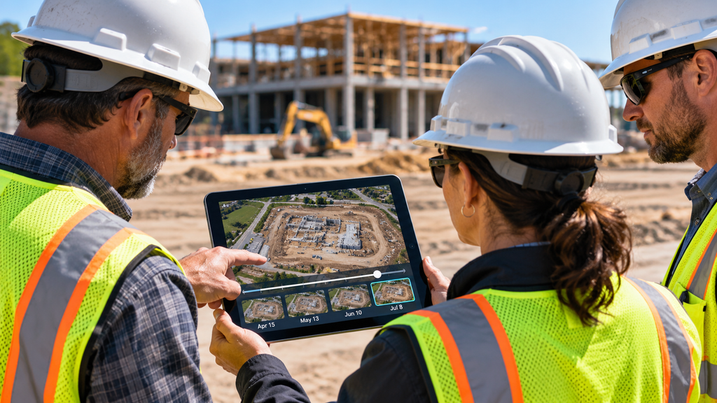
Monitor earthwork, quantify volumes, document completion, and keep projects on schedule.


Lenders & Investors
Get and independent, visual record of progress and site conditions to inform financing and investment decisions.


Stakeholder Reporting
Keep your full project team aligned with clear, visual updates and measurable site data throughout the project lifecycle
CLIENT PORTAL
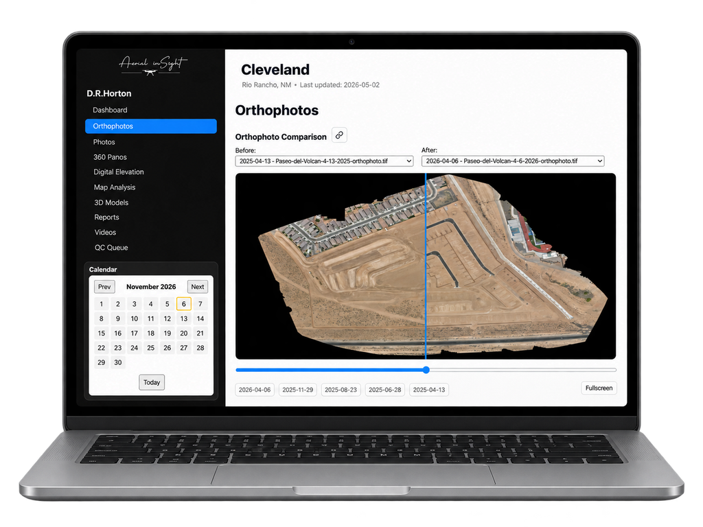
Access, Explore, and Share Your Geospatial Data
Your secure, easy-to-use hub for all project deliverables. View orthophotos, 3D models, elevation data, site measurements, compare datasets, and download GIS-ready files – all in one place.