Construction Services
Construction Monitoring & Inspection
Aerial photography is an essential tool for construction site monitoring, providing a comprehensive and detailed view of a project's progress and any potential issues. With high-resolution aerial photography, project managers can track progress, identify potential safety hazards, and make data-driven decisions to keep the project on schedule and within budget. Additionally, aerial photography can provide a historical record of the construction process, which can be used for future planning and analysis.
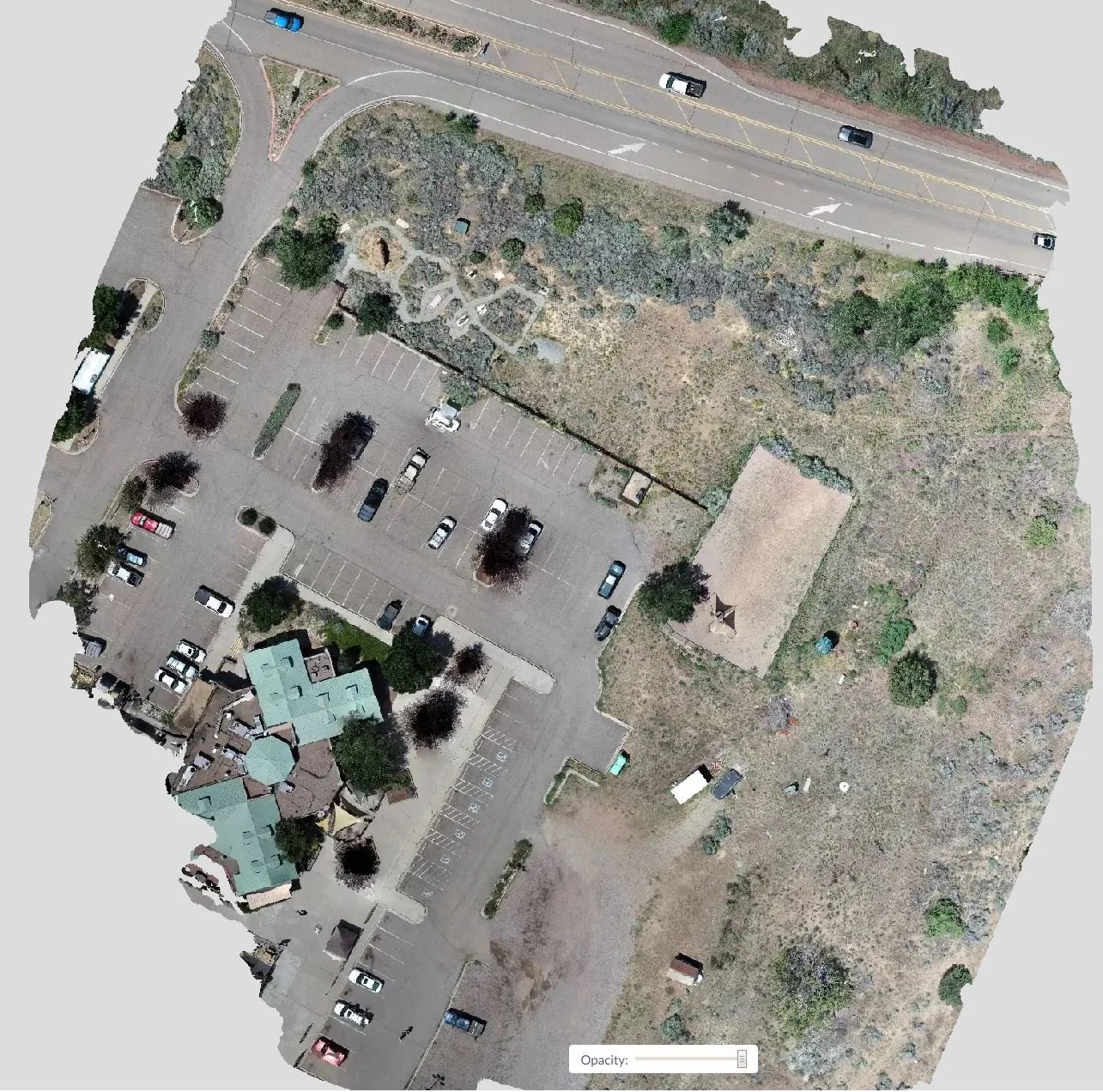
Orthophotos
Orthophotos provide construction sites with accurate, high-resolution aerial imagery that transforms how projects are planned, monitored, and managed. Unlike standard photos, orthophotos are geometrically corrected to offer precise scale and measurement capabilities, enabling teams to track progress, identify potential issues, and make informed decisions with confidence. These detailed visuals help streamline communication among stakeholders, enhance site safety, and optimize resource allocation, ultimately saving time and reducing costs. With orthophotos, construction professionals gain an invaluable tool for ensuring project success from start to finish.
3D Models
3D models bring construction sites to life with detailed, interactive representations that revolutionize project planning and management. By transforming aerial data into accurate, scalable models, construction teams gain a comprehensive view of the site’s topography, structures, and progress. These models enable precise measurements, facilitate better collaboration among stakeholders, and streamline workflows by identifying potential issues before they become costly problems. From pre-construction planning to ongoing monitoring, 3D models provide a powerful tool to visualize outcomes, improve decision-making, and ensure projects are completed on time and within budget
Stockpile Management
Drone-based volumetric measurements are invaluable in industries such as mining, construction, and agriculture, where accurate calculations of material volumes are essential. By leveraging advanced photogrammetry techniques and high-resolution imagery, drones can quickly and precisely assess stockpiles, quarries, and agricultural fields, providing real-time data for inventory management, project progress tracking, and yield estimation. These drone-based volumetric measurements offer significant time and cost savings compared to traditional methods, making them a powerful tool for optimizing operations and improving resource management.


