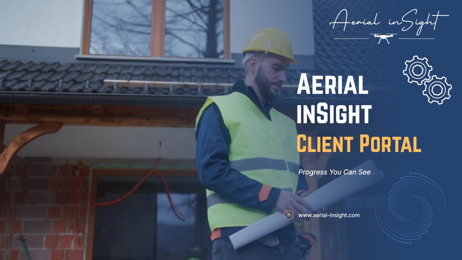
See More, Know More, Build Smarter
Delivering precision aerial data and insights that save time, cut costs, and keep your projects moving forward. From orthomosaics to 3D models, we help you make smarter decisions from above.
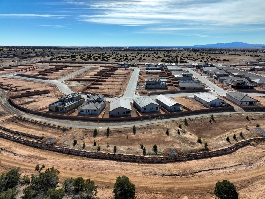
Construction Monitoring
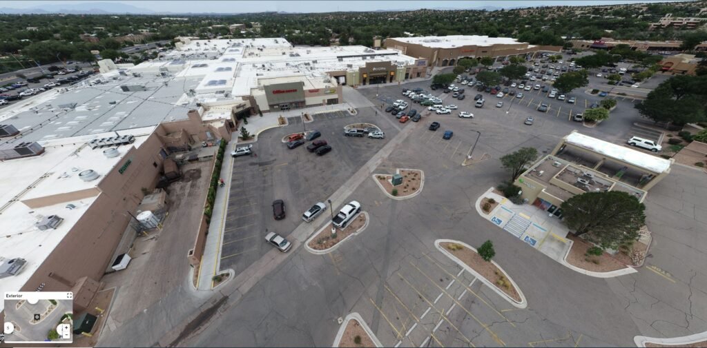
Infrastructure Planning & Inspection
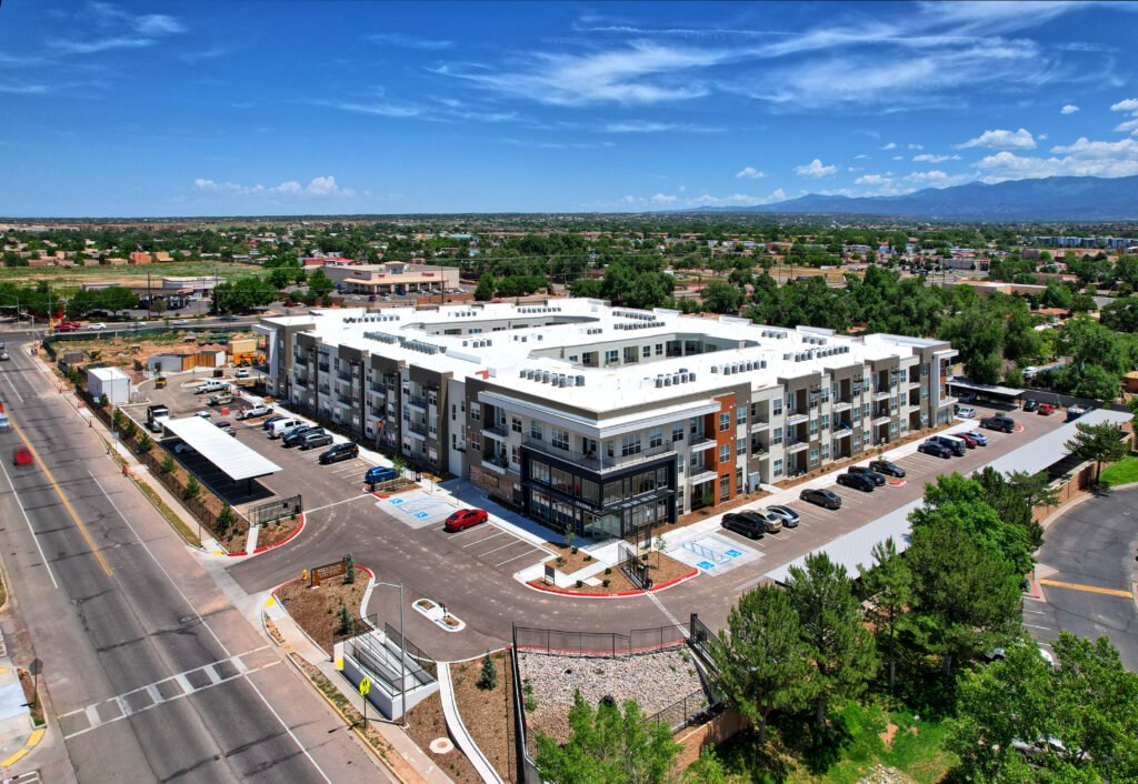
Real Estate

Special Projects
Elevating Insight, Grounding Decisions
At Aerial inSight LLC, we combine aerial precision with deep industry knowledge to deliver high-quality drone data for construction, infrastructure, and environmental projects. Based in Santa Fe and serving the Southwest, we specialize in creating accurate orthomosaics, 3D models, volumetric stockpile reports, and visual inspections that help teams work smarter, safer, and more efficiently.
Founded by a geoscientist and data specialist with over 20 years of experience, our mission is simple: make complex data accessible, actionable, and affordable. Whether you’re managing a multi-phase construction site, tracking project progress, or verifying quantities, we provide fast turnaround, transparent communication, and results you can build on.
Better Decisions Start from Above
We believe clarity is power. That’s why we deliver precise, timely, and visually rich aerial data to help you track progress, verify volumes, reduce rework, and make confident project decisions. Whether you’re managing a construction site or monitoring land development, our drone services give you a higher vantage point—literally and strategically.
The Drone Advantage in Construction
Drones are transforming the way construction projects are monitored, managed, and delivered. With faster data collection, greater accuracy, and improved safety, drone technology is helping teams stay on schedule, cut costs, and make better decisions throughout the project lifecycle. Here’s how the numbers stack up:
75% of construction firms now use drones in some capacity on job sites.
(Source: DroneDeploy, 2022)
Drone mapping can reduce survey costs by up to 50% compared to traditional methods.
(Source: PwC, “Clarity from Above” report)
Companies using drones for progress tracking report up to 30% fewer project delays and change orders.
(Source: McKinsey & Company)
Drone-based surveys are 5x faster than ground-based surveys.
(Source: Propeller Aero)
Construction companies that use drones for progress monitoring have reported a reduction in project time by up to 20%
(Source: AerialDecisions.com)
RTK-enabled drones deliver centimeter-level accuracy, supporting precise volumetric analysis, cut/fill calculations, and as-built documentation.
(Industry standard; varies by hardware/software)
Using drones for weekly progress photos improves stakeholder communication and reduces disputes and RFIs by up to 35%.
(Source: FMI & Autodesk Construction Cloud)
Drone monitoring reduces the need for on-foot inspections in hazardous zones, contributing to a 40-50% decrease in safety incidents on drone-equipped sites.
(Source: PW Consulting)
What You Can Expect From Us
Straightforward Pricing
No hidden fees—just clear, project-based pricing you can trust.
Professional & Friendly
Work directly with an experienced operator who puts your goals first.
Fast Turnaround
Most deliverables are delivered within 24 hours—no waiting, no lag.
Precision Accuracy
RTK-enabled flights provide centimeter-level positioning.
Useable, Clear Deliverables
Clean, actionable visuals that integrate easily into your workflow.
Certified & Insured
FAA Part 107 certified and fully insured for every mission.
Let’s Talk About Your Next Project
Have questions? Need a quote? Want to see how drone data can save you time and money? Fill out the form on the contact page and we’ll be in touch—fast, friendly, and no pressure. Whether you’re ready to fly or just exploring options, we’re here to help.
