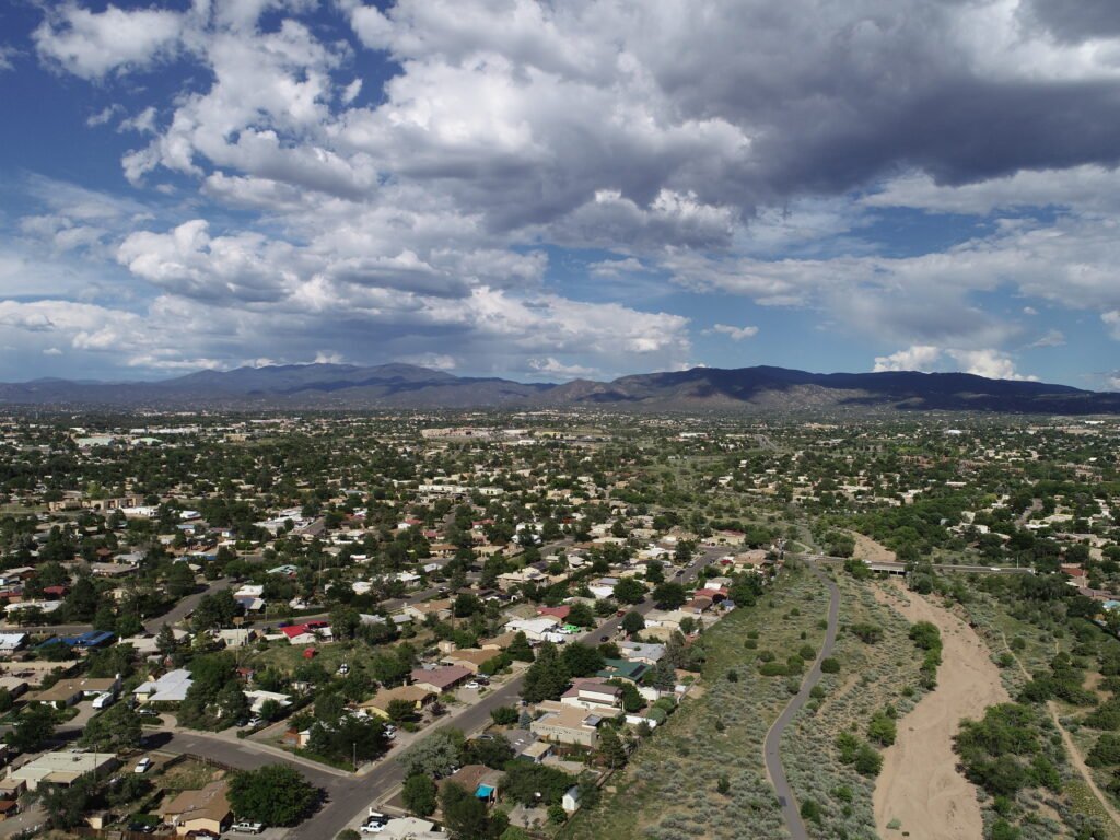
Aerial Data That Drives Results
At Aerial inSight LLC, we don’t just fly drones—we deliver accurate, actionable data that helps you build smarter, monitor progress, and make informed decisions. From high-resolution mapping to 3D modeling and inspections, our services are tailored to meet the needs of professionals in construction, infrastructure, land development, and beyond.
What We Do Best
Our services are designed to solve real problems across construction, infrastructure, and land development. Here’s how we help clients like you stay one step ahead.
Our Services
Construction Progress Monitoring
Stay on top of your project with recurring aerial surveys that document site activity, track milestones, and improve communication with stakeholders. We provide consistent, geo-referenced imagery and video so you can make informed decisions at every stage.
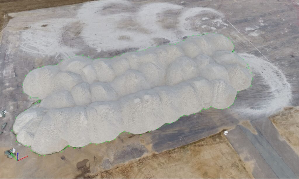
Stockpile Measurement & Volume Reporting
Need accurate, auditable volumes for materials? Our drone-based volumetrics provide precise calculations for aggregates, soil, and other bulk materials—helping you manage inventory, billing, and compliance more effectively.
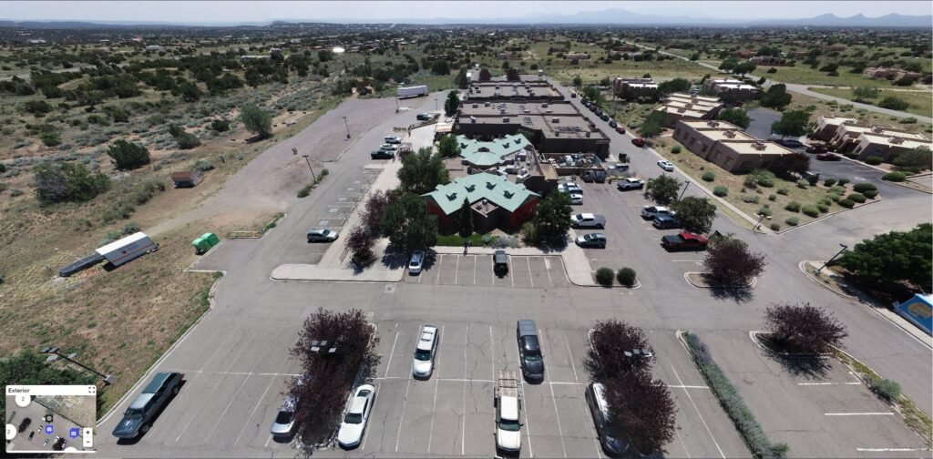
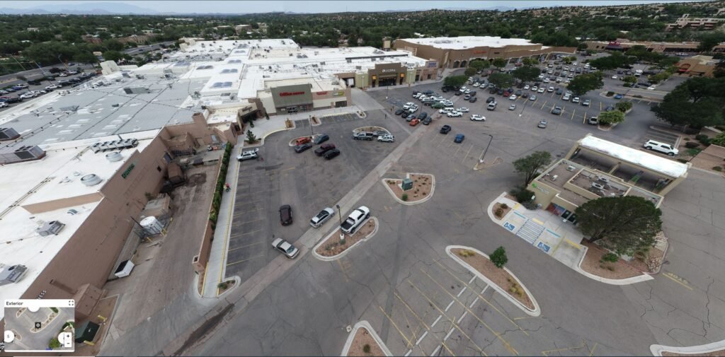
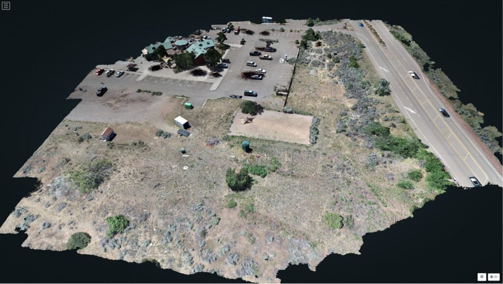
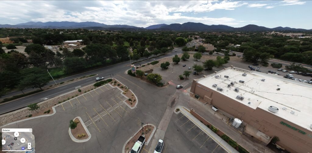
Site Planning & Survey-Grade Mapping
We create RTK-enabled orthomosaics and digital surface models that support pre-construction planning, grading workflows, and earthworks calculations.
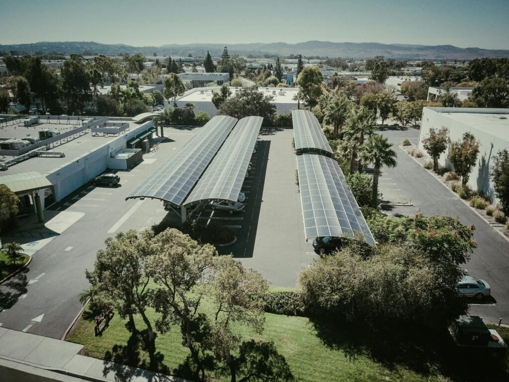
Infrastructure Inspection
Capture detailed visual records of rooftops, solar panels, utility lines, or remote assets—safely and without scaffolding. Our aerial inspections reduce downtime, improve safety, and support documentation for insurance or engineering review.
Land Development & Environmental Monitoring
Monitor vegetation change, erosion, or land-use impacts with repeatable drone flights and time-stamped visuals. Our data supports environmental assessments, permitting, and long-term site management.
Visual Media & Marketing Content
Show off your work from the sky. We produce cinematic aerial videos, high-resolution stills, and interactive panoramas—perfect for presentations, marketing materials, or client updates.
What You’ll Receive
Every project includes easy-to-use, professional-grade deliverables tailored to your needs. Here’s what we can provide:
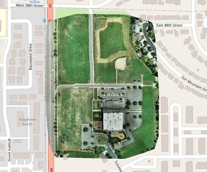
Orthomosaics
Georeferenced, high-res aerial maps—ideal for planning, overlays, and documentation.
3D Models
Photo-realistic 3D surface or structure models for visualization or analysis.
360 degree Panoramas
Immersive views for remote stakeholders or project updates.
Volume Reports
Auditable, downloadable cut/fill or stockpile volume calculations.
Aerial Videos
Stabilized 4K drone footage for marketing, presentations, or reporting.
Still Photography
High-resolution aerial photos from any angle—great for documentation and storytelling.
Why Choose Aerial inSight?
Serious About Accuracy. Commited to Clarity.
Not Sure What You Need? Let’s Talk
Whether you’re exploring drone services for the first time or looking to level up your current workflow, we’re happy to walk you through it. Contact us today for a free consultation or custom quote—and let’s see what we can build together.