
GOVERNMENT & PUBLIC SECTOR
UAS Services
Aerial data, photogrammetry, inspections, and project documentation for government, infrastructure, construction, and land-management applications.
INFRASTRUCTURE / COMMUNITIES / LAND
85+
Documented Missions
34
Project Sites
2,100+
Acres Supported
98%+
One-Day Turnaround
WHO WE ARE
Aerial inSight, LLC provides drone-based aerial data and visual intelligence for construction, infrastructure, facilities, and land projects.
Across 85 documented missions, we have supported 34 project sites covering more than 2,100 acres, with experience ranging from targeted inspections to recurring construction monitoring extending more than a year.
We combine professional UAS data collection, photogrammetry, and streamlined digital delivery to provide accurate, decision-ready information – with one-day turnaround achieved on more than 98% of documented missions
SERVICES
Actionable Data for Real-World Projects
Construction & Project Documentation
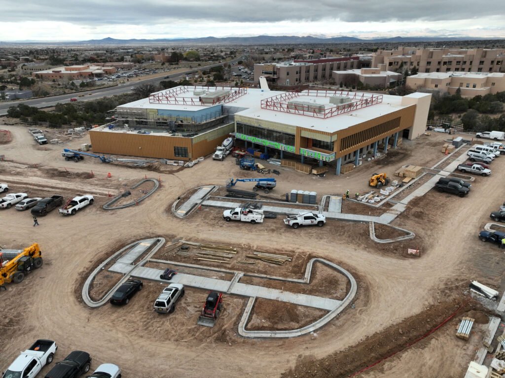
- Recurring progress monitoring
- Existing-condition documentation
- Orthophotos
- 360 deg panoramas
- Progress photography
Photogrammetry & Geospatial Data
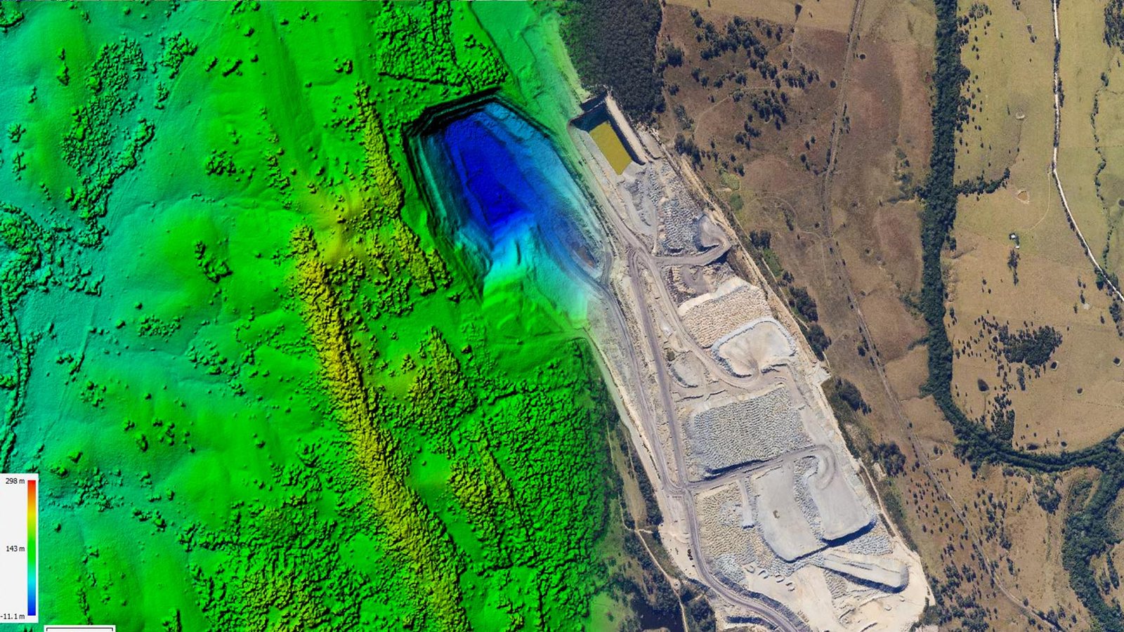
- High-resolution orthophotos
- 3D models
- Elevation products
- Site measurements
- Stockpile volumes
Inspection & Asset Documentation

- Roof and pavement inspections
- Infrastructure documentation
- Oblique imagery
- Asset-condition records
Aerial Imaging & Site Intelligence

- Infrastructure planning support
- GIS-ready aerial data
- Commercial photography
- Aerial video
WHY AERIAL INSIGHT
Proven Performance.
Practical Results.
Proven Recurring Project Support
53 construction-related missions, including 48 recurring flights and a 33-flight engagement extending more than one year.
Rapid Turnaround
One-day turnaround documented on 84 of 85 missions – more than 98% of our documented project work.
Integrated Digital Delivery
A secure, web-based client portal keeps aerial data organized and accessible throughout the life of a project.
Proven Across Project Scales
85 missions across 34 project sites totaling more than 2,100 acres, with experience ranging from targeted sub-acre inspections to a 1,596-acre assignment.
PAST PERFORMANCE
Trusted by Leading Organizations
Consistent performance and rapid turnaround have resulted in recurring assignments and long-term project support. Aerial inSight supports projects through direct UAS services, partnerships with national drone-service providers, and digital project delivery through our client portal platform. Our experience includes projects associated with the following organizations.














COMPANY DATA
Aerial inSight, LLC
UEI: TQMNM1B19Z22
CAGE Code: 23ZQ0
Primary NAICS: 541370 – Surveying and Mapping (except Geophysical) Services
Additional NAICS: 541992, 541990, 541690
Location: Santa Fe, New Mexico
CONTACT INFORMATION
Jeffrey Roth
Owner

HIGHER PERSPECTIVE.
REAL SOLUTIONS.
Have a project or upcoming procurement requirement?
Contact Aerial inSight to discuss UAS data collection, photogrammetry, inspection, documentation, or teaming opportunities