
Construction & Project Documentation
Recurring aerial progress documentation, high-resolution orthophotos, and visual records that give you a clear, consistent view of your project from start to finish – and keep your team and stakeholders informed every step of the way.
109+
Documented Missions

57+
Project Sites

3,200+
Acres Supported

98%+
One-Day Turnaround
Why It Matters
Maintain a consistent, high-quality visual record of your project from pre-construction through completion. Aerial imagery makes it easy to track progress, document site conditions, verify work, and keep project teams, owners, and stakeholders aligned with a clear, up-to-date view of the job site.
Core Deliverables

Recurring Progress Monitoring
Scheduled aerial flights that capture and document construction progress over time.

Existing-Condition Documentation
A clear, time-stamped record of site conditions before, during, and after construction.

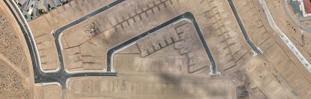
Orthophotos
High-resolution, georeferenced site maps for measurement, planning, and project documentation.
360 deg Panoramas
Interactive, immersive views that let stakeholders explore the site remotely from any angle.

Site Photography
High-resolution, project-focused imagery for reports, presentations, and project records.

Video Updates
Cinematic aerial video that shows project progress, key milestones, and overall site conext.
Use Cases


Developers & Owners
Track site development, verify progress, and build a complete visual record of project milestones

General Contractors
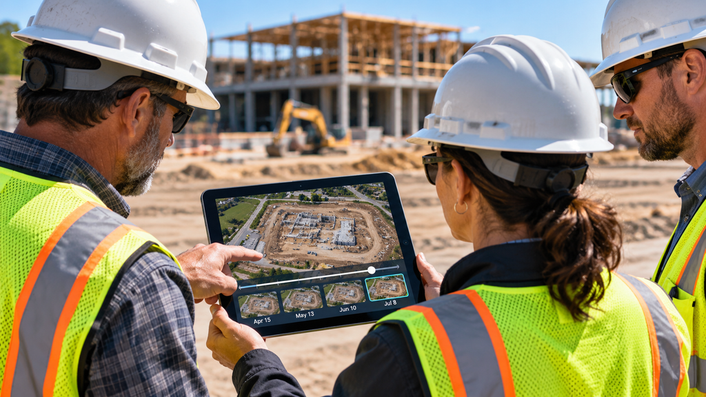
Monitor construction activity, document work for QA/QC, and keep project teams aligned with current site visuals.


Lenders & Investors
Gain confidence with objective, time-stamped visual updates that show progress and risk mitigation.


Stakeholder Reporting
Share clear, easy-to-understand updates with clients, owners, and project stakeholders.
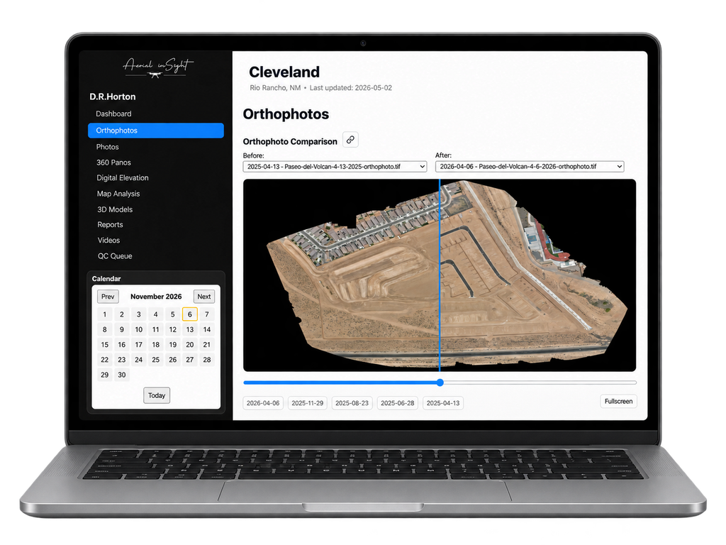
CLIENT PORTAL
Keep the Project Record Organized
Access current and historical imagery, orthophotos, 360 deg panos, and project deliverables in one secure, easy-to-use Client Portal. Review progress, compare past flights, download assets, and share updates with your team – all in one place.
How It Works

1. Plan
We align on your goals, site details, and a recurring flight schedule that fits your project.
2. Capture
We collect high-quality aerial imagery, video, and data at key project intervals.

3. Deliver
You receive organized, ready-to-use deliverables (Orthophotos, photos, panos, and video) in your Client Portal.

4. Use
Track progress, document site conditions, share updates, and keep your project moving forward with clear, visual insights.
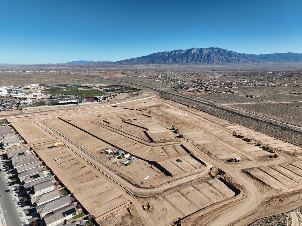
FEATURED PROJECT
Cleveland / Rio Rancho Construction Monitoring
Aerial inSight provided recurring aerial documentation for the Cleveland / Rio Rancho project, capturing consistent, high-resolution progress imagery, orthophotos, and visual updates over the course of land work. The deliverables gave the project team a clear, verifiable record of site progress and an effective way to keep stakeholders informed.
12+ Months
Project Duration
33 Site Flights
Recurring Aerial Missions
48 Acres
Total Project Area
Need a Clear Visual Record of Your Project?
Let’s talk about a recurring aerial documentation plan for your site.