Capturing Campus from Above: Aerial inSight Partners with Sketches etc to Map NM Highlands University
At Aerial inSight, we love working on projects that blend technology, creativity, and a strong sense of place. That’s why we were especially excited to partner with Sketches etc—a company with over 33 years of experience crafting stunning, hand-rendered campus illustrations for colleges and universities across the country.
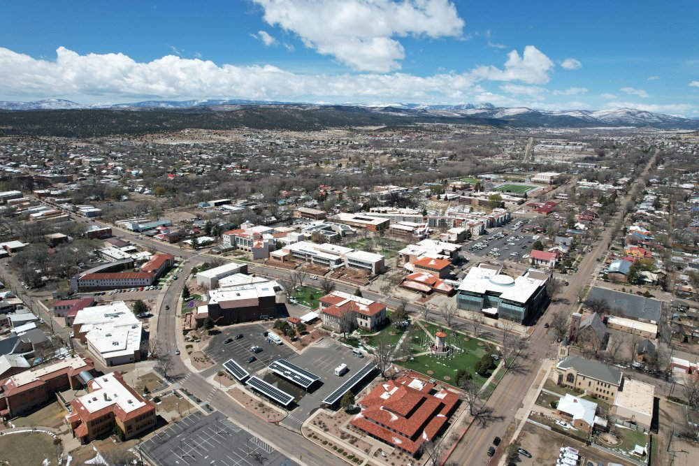
Sketches etc (visit them at sketchesetc.com) is known for transforming traditional campus maps into artistic “mapsterpieces”—beautifully detailed, digitally-enhanced 3D renderings that highlight the architecture, layout, and landmarks of academic institutions. To support their work on a new map for New Mexico Highlands University in Las Vegas, NM, Sketches brought us in to provide one essential component: a high-resolution orthophoto of the campus.
Orthophoto Mapping for Artistic Precision
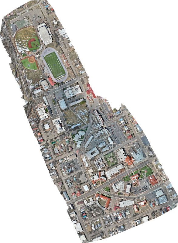
The goal of this project was to generate a current, high-detail aerial map of NM Highlands University to serve as a foundational reference layer for Sketches’ design process. The orthophoto we created captured the entire campus from above, providing:
- Accurate building footprints and layout
- Current landscaping and infrastructure updates
- True-to-scale reference imagery for perspective and spatial orientation
Unlike standard aerial imagery, the orthophoto was precisely georeferenced and corrected for distortion, making it a powerful visual tool for Sketches’ team to work from. With clear overhead views of walkways, plazas, rooflines, and natural features, they could ensure every detail in their 3D rendering was accurate, informed, and visually compelling.
A Bird’s-Eye View for Better Design
For a company like Sketches, starting with accurate, up-to-date imagery is key. Their artists rely on having a reliable visual foundation that reflects the most recent changes to a campus—new buildings, renovations, updated landscaping, and more. Our orthophoto gave them the clarity they needed to design confidently, while still allowing the hand-drawn artistry and signature style they’re known for to shine through.
The final product? A custom “mapsterpiece” that showcases the beauty and structure of NM Highlands University—something students, faculty, alumni, and visitors alike can appreciate and enjoy.
Why It Works
This collaboration is a great example of how drone data and creative design go hand-in-hand. By pairing our aerial mapping services with Sketches’ handcrafted process, we helped ensure the final product was not only aesthetically stunning but also spatially accurate. It’s a win-win for institutions that want maps that are both functional and inspiring.
Looking to enhance your next creative or planning project with high-quality drone data? Whether you’re designing, mapping, or documenting, Aerial inSight delivers the tools you need to get it right from the sky down.
Contact us to learn more or request a quote.